churchill-downs
Visualizing Churchill Downs and the surrounding area in Louisville, Kentucky
Churchill Downs in Louisville
Custom Shaded Relief Map for South Louisville
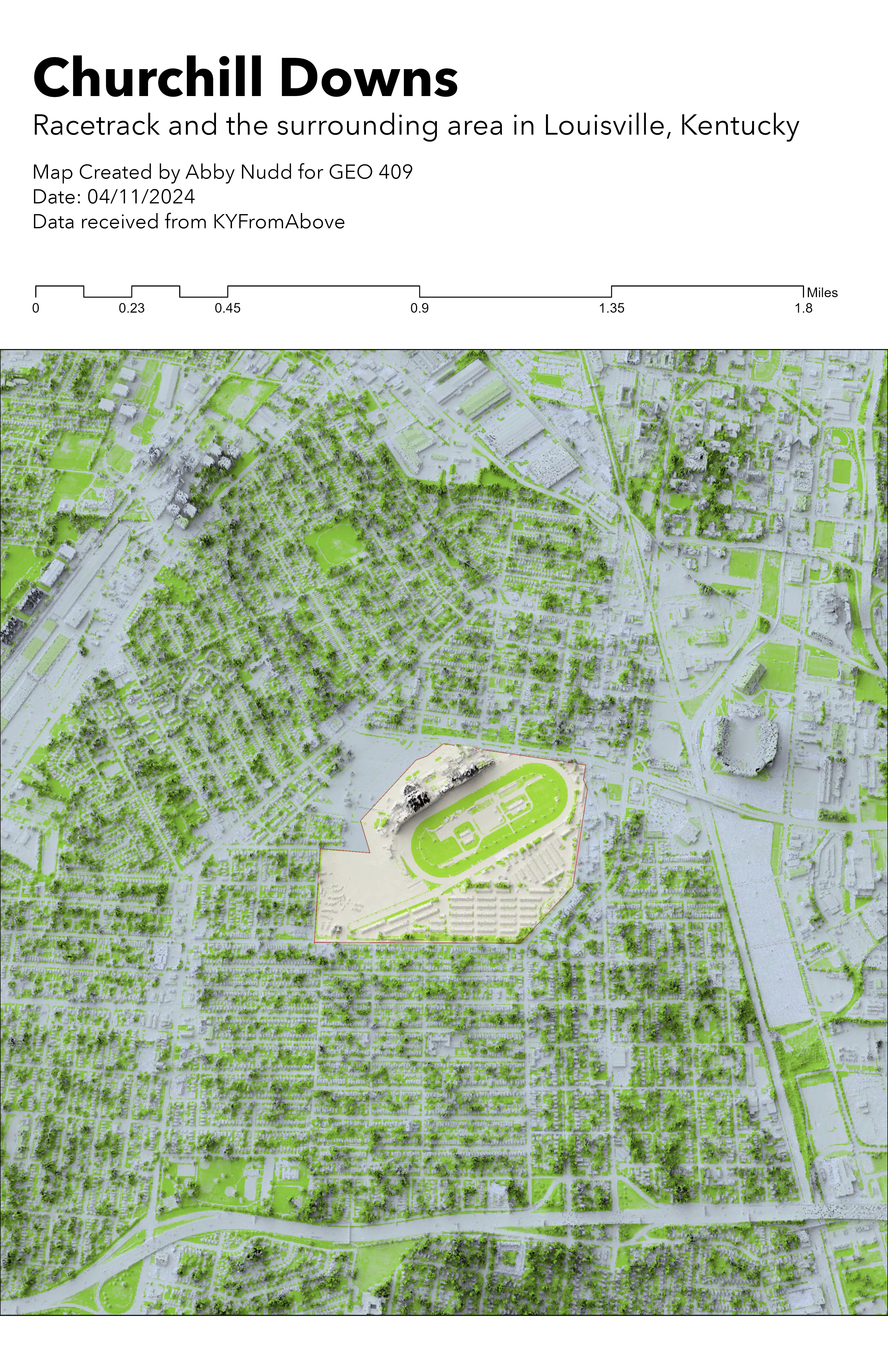
Churchill Downs is in the center of South Louisville. It is surrounded by residential housing. To the east of Churchill Downs is the Jim Patterson Stadium and the L&N Federal Credit Union Stadium. The area has a consistent elevation with the stadiums and vegetation being the highest points on the map.
Churchill Downs
Shaded relief map created by Abby Nudd for GEO 409 on 04/11/2024. The map data was received from KyFromAbove.